Juliana Trail in Slovenia: The Ultimate Guide
Plan the Juliana Trail with stage overviews, best seasons, road walking tips, transport and stays, and easy options for shorter highlight trips.

Quick links
Juliana Trail at a Glance
270 km loop,16 stages (easy to hike in sections).
Official stage start/finish: most hikers start in Kranjska Gora (but you can begin anywhere)
Waymarking: yellow Juliana signposts and “JA” markers.
Fun fact: it won the BGTW International Tourism Award (ITA) 2020 for Best Europe Tourism Project
Stages Overview
The classic Juliana Trail is a 270 km circular loop split into 16 stages—designed as a stage-by-stage journey between towns and valleys (not a summit-chasing route).
Each stage has a distinct “personality,” so the easiest way to plan is to decide which landscapes you want most (rivers, lakes, plateaus, alpine villages), then stitch the stages to match.
Here’s a practical overview of what the loop feels like as you go:
Stages 1–2: Kranjska Gora to Jesenice
A classic alpine gateway that follows the Sava Dolinka valley and the edges of the Karavanke foothills into Mojstrana at the Vrata Valley entrance, then continues through Dovje to finish in Jesenice with a clear shift toward ironworks heritage and an old mining trail feel.
Expect steady mountain presence without technical terrain, with frequent village transitions that make the day feel lived in rather than remote

Stages 3–4: Jesenice to Bled
A gentler foothills stretch that leans into villages and local culture, then eases into a flatter, more relaxed approach via Begunje and Radovljica before reaching the shore of Lake Bled, where services and logistics become noticeably easier.
The terrain here is naturally forgiving, so it is one of the easiest parts of the loop for keeping days flexible and unhurried.

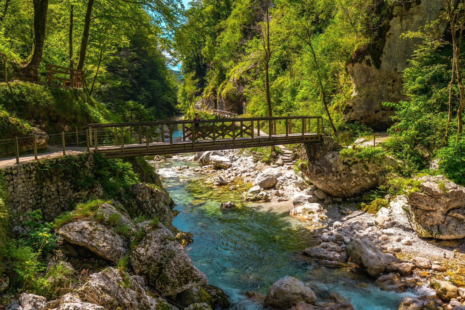
Stages 5–6: Bled to Stara Fužina
The biggest landscape change on the eastern side of the loop, climbing out of the Bled basin through Gorje and Pokljuka Gorge, then pushing over alpine pastures into the heart of the Pokljuka plateau before dropping toward the Bohinj side to reach Stara Fužina.
These days feel forested and high plateau focused, with viewpoints and nature trail sections that make the transition into Bohinj feel slow and scenic rather than rushed.

Stages 7–8: Bohinj area to Podbrdo
An easy valley rhythm that sets up a real transition day over the old Vrh Bače pass, a historic crossing that linked Bohinj with Primorska long before modern roads and railways.
The pass day is the one to treat most like a mountain stage, since some sections are steeper and phone reception can be limited depending on where you are on the slope.

Stages 9–10: Podbrdo to Most na Soči
Quiet, lesser visited walking high above Baška grapa through sunny villages that stay hidden to most visitors who travel the valley floor, then a gradual opening toward the Soča side before descending into Most na Soči.
The approach into Most na Soči feels like a proper arrival because the stage finishes at the confluence area and a natural transport hub for the next valley sections.

Stages 11–12: Most na Soči to Kobarid
Two flexible valley days that build the Soča atmosphere, with the shortest stage offering time to explore Most na Soči and Tolmin but including a steeper ridge crossing over Bučenica where you want steady footing.
The next day stays gentle and valley like along the sunny side of the Soča through friendly villages, which is why this pair works well for recovery pacing or mixed sightseeing days.
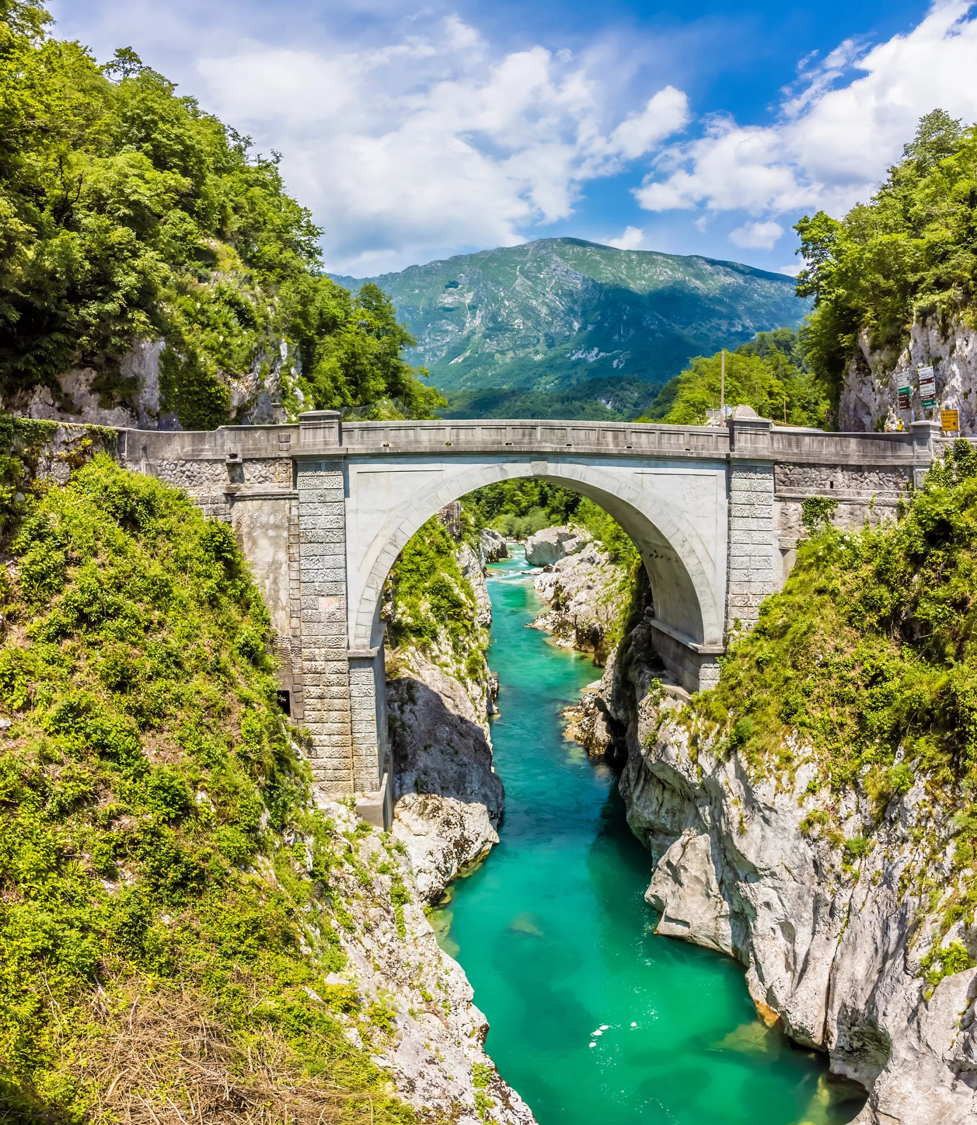
Stages 13–14: Kobarid to Log pod Mangartom
The Soča section turns more dramatic right after Kobarid, with the valley narrowing and the walking feeling more mountainous on the way toward Bovec, including classic river crossings and gorge country sections.
From Bovec onward the mood becomes upper valley and borderland, running past visible First World War remains and settling into Log pod Mangartom as one of the most scenic village finishes on the route.

Stages 15–16: Log pod Mangartom to Kranjska Gora
A borderland finale that includes the biggest climb on the Primorska side, gaining about 600 metres up to Predel Pass before descending into Italy toward Tarvisio.
The closing day is smoother and more corridor like, following a cycling and hiking route back to the border at Rateče and then a local road into Kranjska Gora, which makes the end feel logistically straightforward.

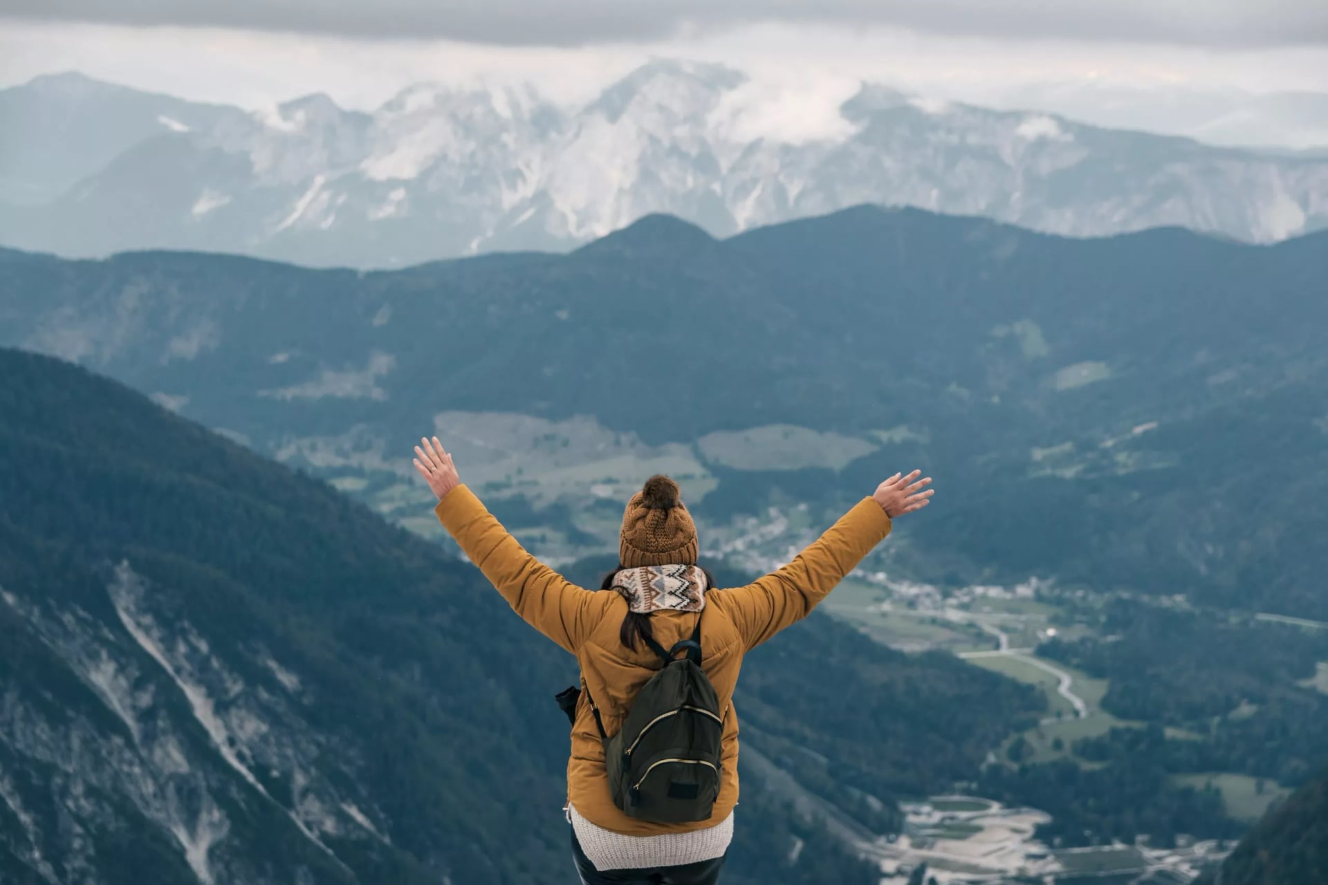
Why Hike the Trail
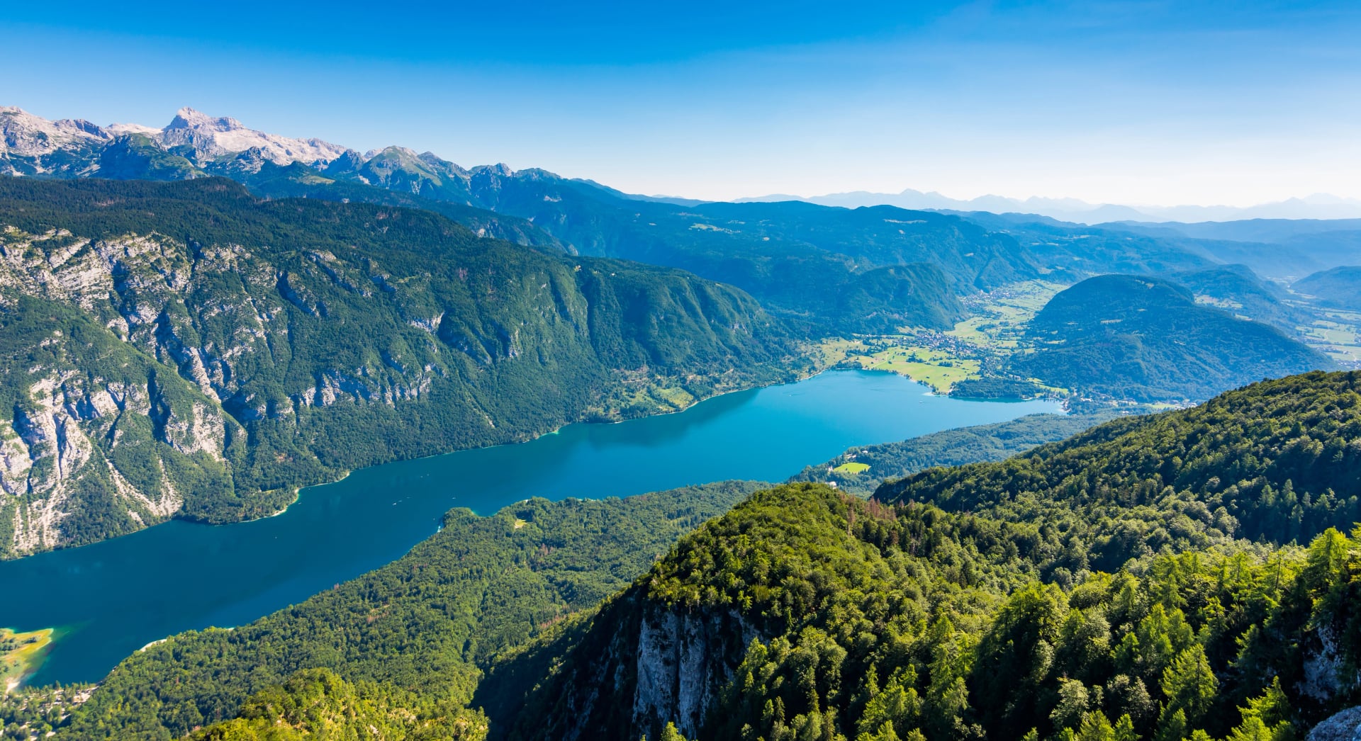
The Juliana Trail is a 270 kilometre circular hike around the Julian Alps, designed to deliver big alpine scenery without summit skills or technical terrain. Instead of high ridgelines, it links valleys, forests, villages, and passes, so the logistics stay friendly while the backdrop stays dramatic.
Along the way it threads past Lake Bled and Lake Bohinj, follows the Soča and Sava corridors, and is split into 16 stages so you can walk the full loop or pick the best sections for a shorter trip. It opened on 18 October 2019 and later won the BGTW International Tourism Award for 2020 Best Europe Tourism Project, announced on 18 April 2021.
Best Time to Hike
The Juliana Trail season is shaped less by peak access and more by what is happening on the higher plateaus and passes in spring, and by heat, crowds, and afternoon storms in mid summer. In practical terms, it is walkable for a long stretch of the year, but the experience changes a lot month to month.
April to May
Spring can be beautiful and surprisingly quiet, with fresh green valleys and fewer people in the popular hubs, but it is also the least predictable window. You can get brilliant hiking days, then run into sudden cold snaps or lingering snow on higher parts of the route such as Pokljuka, Predel Pass, and Vrh Bače.
This is the time to plan with flexibility: choose lower stages, keep your daily plan loose, and be ready to use public transport to skip a snowy section if conditions demand it.
June
June is when the trail starts feeling reliably comfortable. Days are longer, the landscape is fully awake, and most hikers find the balance between good conditions and manageable crowds. Snow can still linger in higher areas after heavier winters, so it is worth checking current conditions before committing to plateau and pass days, but later June is often one of the easiest times to hike.
July to August
This is the warmest and most social period, with the fullest choice of services in the towns and the most energy in places like Bled, Bohinj, and the Soča Valley. The tradeoff is that heat builds in the valleys and afternoon thunderstorms are more likely, so early starts matter and it helps to plan your biggest walking before mid afternoon. The official planning advice also emphasizes hydration in summer, especially on valley stages.
September to October
Early autumn is often the sweet spot for comfort and atmosphere. Temperatures usually ease off, the trail feels calmer, and the days can be stable and clear, which suits longer stage walking and photography. Later in October you should start treating daylight and weather as a planning factor again, and keep an eye on updated park conditions before committing to higher sections.

General rule: Plan to be done with exposed walking by early afternoon in mid-summer. For a deeper seasonal breakdown, check out our weather guide.
Is There a Lot of Road Walking?
If we are comparing Juliana Trail to other classic thru-hikes in the Alps (like Tour du Mont Blanc), it does have more asphalt than them.
Why? It's designed as a valley-and-town route rather than a high-mountain traverse. It wants to show a mix of culture and nature in the Julian Alps, which corresponds to the trails you are going to be walking.
Juliana Trail mix (approximate):
1/3 on paved roads
1/3 on gravel (forest) roads
1/3 on hiking trails
All in all, road-walking isn’t constant, but it’s part of the trail—because the whole point is linking landscapes and living places (villages, food stops, cultural towns), not staying remote all day.
But what if you still don't want to walk on paved surfaces?
How to reduce road time:
Use buses for connectors
Reroute onto parallel riverside paths or forest tracks when available (offline maps help here).
Start early on warmer days—road sections feel longer in heat, and you’ll enjoy them more in cooler morning temperatures.

What if I Don’t Have 16–17 Days?
You don’t need to hike the whole Juliana Trail to get the best of it. Because it’s built stage-by-stage between towns, it’s easy to cherry-pick the strongest scenery and skip “connector” days with public transport.
4–5 days: Lakes and easy logistics
Stages 4 to 7 give you the clean Bled to Bohinj arc with the simplest bases and the least planning friction: Begunje to Bled, Bled to Goreljek on Pokljuka, Goreljek on Pokljuka to Stara Fužina, then Stara Fužina to Bohinjska Bistrica.
If you want a true five day rhythm, add Stage 8 from Bohinjska Bistrica over Vrh Bače to Podbrdo as the most mountain-like finish, but only when conditions are good.
5–7 days: Soča Valley showstopper week
Stages 11 to 14 are the most direct way to build a full Soča week: Most na Soči to Tolmin, Tolmin to Kobarid, Kobarid to Bovec, then Bovec to Log pod Mangartom.
If you have extra days, extend with Stage 15 toward Predel Pass and Tarvisio for a stronger borderland finale.
7–10 days: The best-of loop feel
Combine the strongest lake and plateau block with the Soča block by hiking Stages 4 to 8 for Bled, Pokljuka, Bohinj and the Vrh Bače crossing, then jump by train or bus to the Soča side and continue with Stages 11 to 14.
This gives you the two signature landscapes most people want, without committing to the quieter connector stages in between.
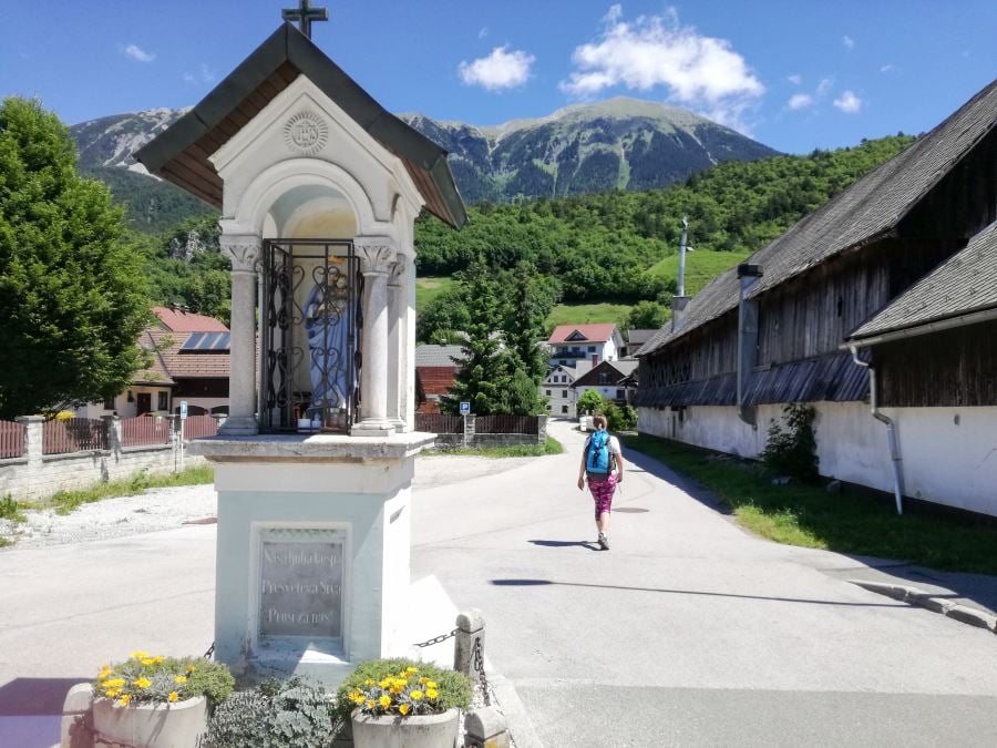
Food and Culture on Trail
The Juliana Trail is town connected, so food is a real part of the experience. Expect mountain dairy, river fish, hearty comfort dishes, and regional desserts as you move from the lake areas into the Soča Valley.
Planning tip: Book dinners ahead in smaller places when possible, especially in high season, because many guesthouses cook for in house guests first. In bigger hubs like Bled, Bohinj, Kobarid, and Bovec you can stay more spontaneous
Accommodation on the Trail
The Juliana Trail is built for comfortable overnights in towns and villages, which means you can hike with a lighter pack and keep logistics simple. Most hikers stay in guesthouses and hotels in the towns and villages at the end of each stage.
Guesthouses & Hotels
This is the default (and easiest) way to hike the Juliana Trail: stages are designed to end near settlements, so you can count on private rooms, showers, meals, and flexible pacing.
Best for: first-timers, comfort seekers, anyone hiking stage-by-stage without heavy gear.

Camping
Camping can work on the Juliana Trail, especially around hubs like Bohinj and the wider Julian Alps—but it’s structured camping. In Triglav National Park, overnight stays with campers are only permitted at official campsites, and the same “designated places only” logic applies broadly across the Julian Alps region.
How to Plan Your Juliana Trail
Planning the Juliana Trail is straightforward because the route is designed for normal hiking days, with towns and valleys doing most of the heavy lifting. You can keep it simple and scale it up or down depending on how much time you have and where you want the best scenery.
Pick your trip length
This trail makes it easy to hike a few stages as a long weekend, build a one to two week highlights trip, or complete the full loop.Use maps and tracks
Mobile signal can be limited in the mountains, so it helps to download your maps in advance and keep them available offline. If you like paper navigation, bring a physical map as a backup, especially for longer days or poor visibility.Follow the markings
Look for yellow Juliana Trail signposts and the JA marker on rocks and trees. This is especially helpful through forests and settlements where junctions come quickly.

Choose transport
The route links towns where buses and trains make it realistic to hike sections without a car. You can use a bus (Arriva, Nomago), train (Slovenske železnice), local shuttles and taxis for shorter distances.Keep a simple rhythm
A practical way to structure the trip is to alternate walking days with lighter days for short transfers and optional side hikes. This keeps the pace flexible and sets you up well for the top hikes section below.
Once the basics are set, planning turns into the fun part. You start noticing how each area has its own mood, crisp viewpoints around Vršič, turquoise river days in the Soča Valley, quiet forest plateaus near Pokljuka, and lake basins that feel made for slow walking. The Juliana Trail naturally invites you to mix steady stage days with short scenic detours, keeping the rhythm light and the scenery constantly changing.
But if you would prefer to skip the planning, you can check out our Juliana Trail tours:
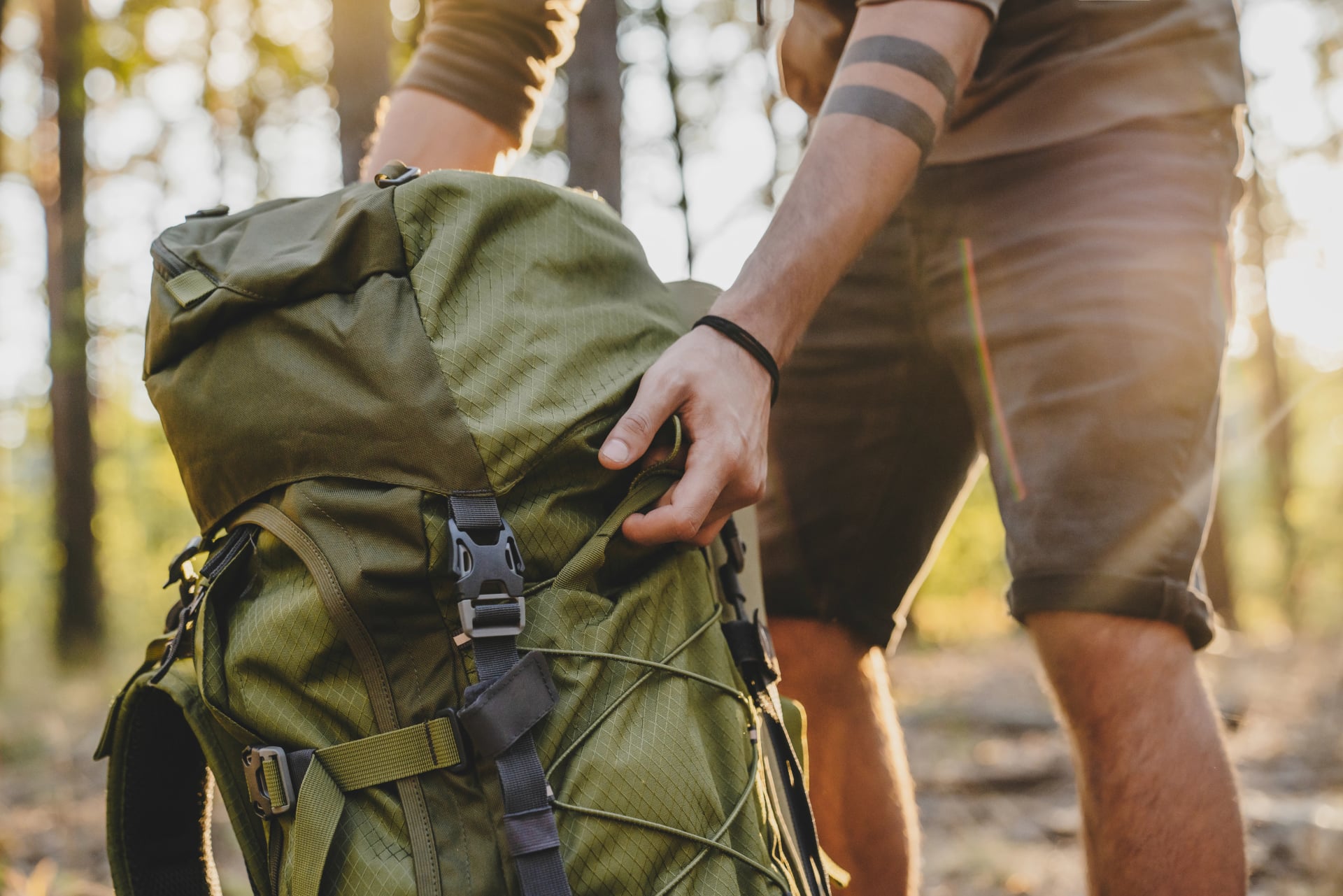
Packing Rules That Make Your Hike Easier
The Juliana Trail is mostly inn-to-inn, so you don’t need an expedition backpack—but you do need a smart system. The Julian Alps sit right on a weather boundary, which means conditions can shift quickly, and winter-like conditions can linger higher up surprisingly late.
Pack for two seasons in one day.
Always carry a layering system and a waterproof shell, even on warm forecasts—weather can change abruptly in Slovenia’s Alps.Keep your pack light enough to enjoy the climbs.
If you’re carrying everything yourself, every “just in case” item adds up. Build a tight core kit and only add extras if they solve a real problem (cold, rain, blisters).Waterproof your pack contents, not just your jacket.
Use a pack cover or line your pack with a heavy-duty bag so insulation and spare layers stay dry.Never hike multi-day in brand-new footwear.
Break boots/shoes in before the trip—blisters are the fastest way to turn a great trail into a grind.Make safety non-negotiable.
A compact first-aid, blister kit and a headlamp are tiny, but they’re the items people regret skipping.Keep the essentials reachable in 30 seconds.
Rain layer, warm layer, snacks, water, and phone/GPS should be accessible without unpacking everything—especially if the weather turns.Know your emergency number.
In Slovenia, call 112 for emergency/mountain rescue assistance.
Pack light, but don’t pack casually: the right layers, proper waterproofing, and a few small safety essentials make the Juliana Trail feel smooth and carefree. For the full checklist (including warm-season and shoulder-season add-ons), check out our essential packing list.
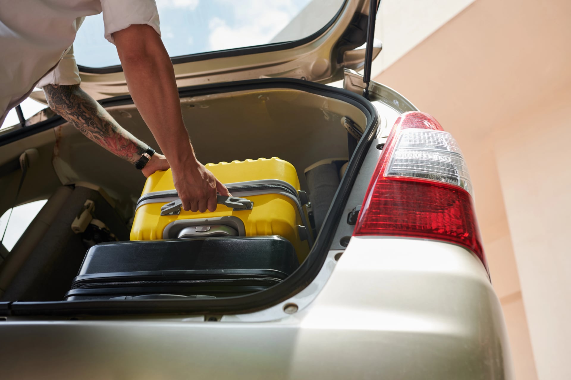
Luggage Transfer
If you’re hiking inn-to-inn, luggage transfer can be the upgrade that makes the Juliana Trail feel effortless: you hike with a light daypack while your main bag moves ahead to your next accommodation.
Best for:
comfort-focused hikers, first-timers, couples, or anyone who wants longer days without a heavy pack
travelers combining hiking with sightseeing (Bled, Bohinj, Soča) and staying in nicer hotels
We can arrange the full logistics—accommodations, luggage transfers, and stage planning so you get the best sections and smooth pacing without having to coordinate operators day by day.
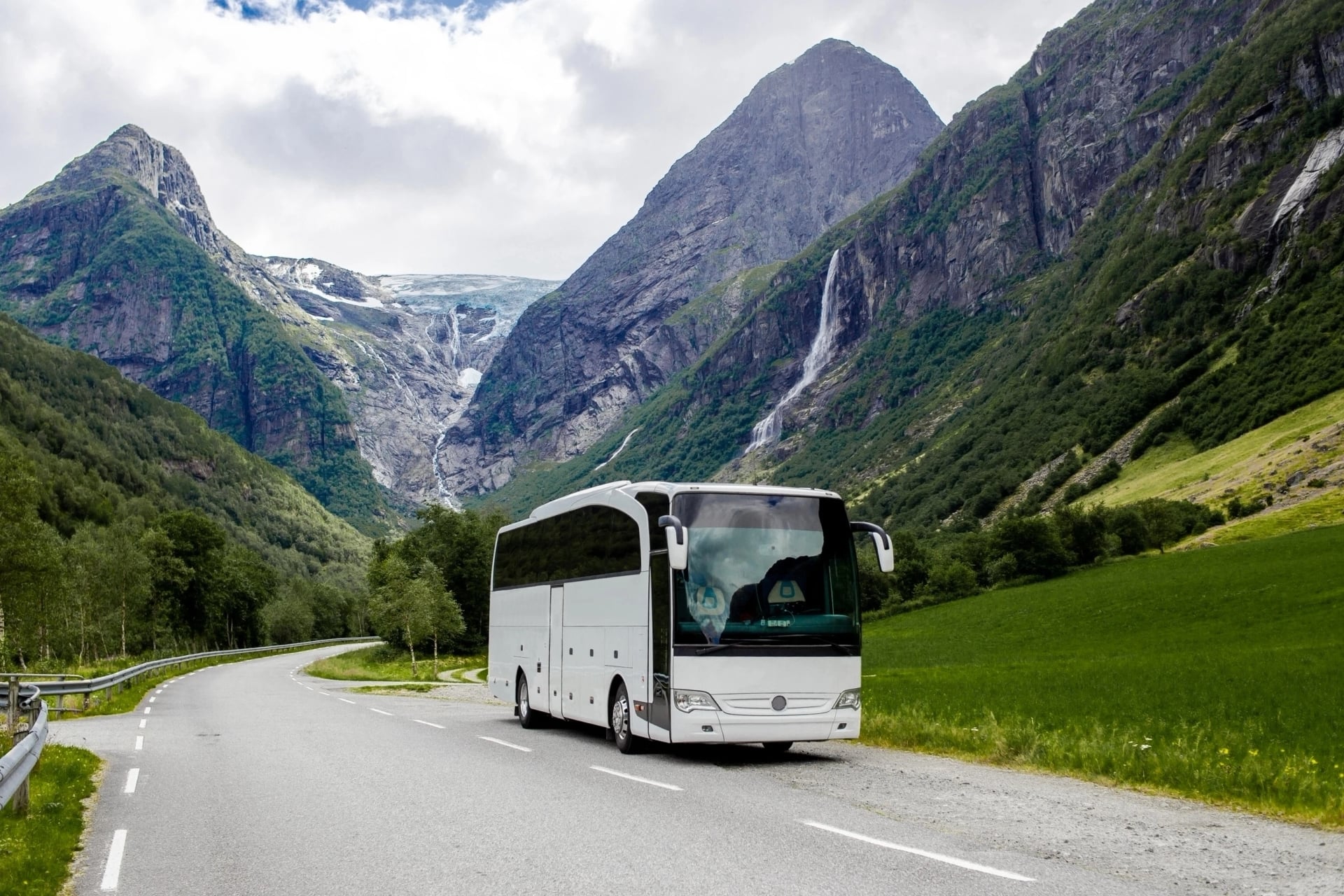
Getting There & Getting Around
One of the best things about hiking the Juliana Trail is how easy it is to do car-free (or nearly car-free). The route links well-connected alpine towns—Kranjska Gora, Bled, Bohinj, and the Soča Valley—so you can arrive by plane/train, then stitch stages together with buses and rail when you want to skip ahead or base yourself in comfort.
Getting to Slovenia
Fly in: the most convenient airports for the Juliana Alps are Ljubljana (LJU), plus nearby Trieste, Klagenfurt, and Venice if flight prices work better.
Arrive by bus/train: long-distance buses (including FlixBus) serve hubs like Ljubljana (and often Bled, depending on routes).

Getting to the Juliana Trail
The trail is commonly started in Kranjska Gora, and you can reach it from Ljubljana by train or bus.
You can also hop on/off via rail-connected towns used in many itineraries (e.g., Jesenice, Bled (Lesce-Bled / Bled Jezero), Bohinjska Bistrica, Podbrdo, Most na Soči, Solkan, and even Tarvisio on the Italian side).
Getting Around During the Hike
Use the national planner: SiMO (Slovenian National Journey Planner) is the easiest way to stitch together bus + train connections between trail towns.
Buses are key for valley-to-valley jumps: for example, Bled has regular bus links with Ljubljana, Bohinj, and Jesenice.
Check operator timetables when needed:
Arriva Slovenia timetables
Nomago timetables
Crossing between Kranjska Gora and the Soča side: Kranjska Gora notes connections toward Bovec via the mountain routes over Vršič or Predel (great for transfers and planning).
Common Mistakes and How to Avoid Them
The Juliana Trail is designed to be approachable—but the Julian Alps still have fast-changing weather, slick limestone terrain, and a few park rules that can catch people off guard. A little mountain routine (early starts, checks, and backup plans) keeps the hike fun instead of stressful.
Starting too late (and getting caught in afternoon storms)
Summer storms are common in the mountains—plan to be off exposed sections and back in town by early afternoon. Start hiking early (think 7–8 AM), especially in July–August.Skipping “current conditions” checks
Even on a foothills-style trail like Juliana, higher areas and passes can hold late snow (some years into June), and trails can be temporarily closed. Check conditions before you commit to a stage.Missing waymarks
Waymarking is strong, but junction dense areas can still be confusing, so keep your offline map ready. Follow the yellow Juliana Trail signposts and the JA marker, and keep a GPX backup on your phone.Underpacking for “easy” days
Weather changes fast in the Julian Alps. Bring layers + rain protection, and wear proper hiking footwear (ankle support helps on wet roots, gravel, and long descents).Not planning transport gaps
If you’re hopping between trail towns, check connections in advance—use SiMO to stitch bus and rail, and don’t assume late-afternoon links always exist.Chasing social-media shortcuts off-trail
It’s tempting around gorges and viewpoints—don’t. Stick to marked routes; off-trail detours are a common way to turn an easy day into a risky one.
Do those few things right—start early, check conditions, follow the markings, and plan legal overnights—and the Juliana Trail becomes exactly what it should be: a smooth, scenic loop packed with “how is this real?” moments.
Let’s Go!
The Juliana Trail is the kind of hike that feels generous: one day you’re walking beside emerald water, the next you’re looking up at jagged Julian Alps ridgelines—without needing technical summit skills or heavy logistics. Pick a few highlight sections, keep your days light and flexible, and let the scenery do the rest.
For help choosing the right itinerary, contact us and grab our Ultimate Guide to Hiking in Slovenia for deeper planning tips.


Expert Local Guides
Our professional guides know the local terrain and are trained to make this once-in-a-lifetime opportunity both safe and enjoyable.

Hassle-Free
We handle route planning, accommodations, transfers, and anything else you prefer not to deal with, so you can enjoy a carefree hike.

Tried & Tested Adventures
Only the best hiking adventures in Slovenia, cherry-picked by our local team with an in-depth knowledge of the region.

Book with Confidence
We are a financially protected company, fully bonded and insured, keeping your money safe and allowing you to travel with confidence.

Unbeatable Support
Our 24/7 customer support is where we show our passion, bringing you a better experience by making your well-being our number one priority.