Hiking in Slovenia: Best Routes and Hikes
Everything you need to know before setting off with practical tips on when to go, hut stays, trail difficulty, navigation, and essential gear

Quick links
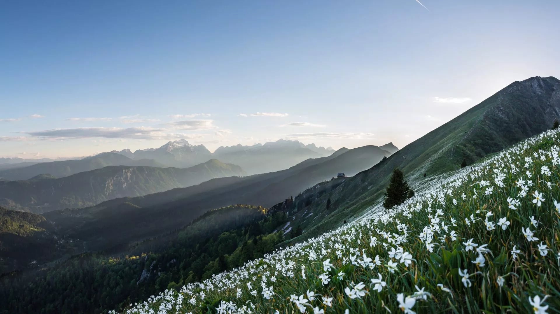
Hiking in Slovenia at a Glance
10,000+ km of marked hiking trails in one small country
179 mountain huts, shelters & bivouacs to eat/sleep en route
352 peaks over 2,000 m if you like collecting summits
Highest point: Triglav at 2,864 m
One of Europe’s oldest long-distance trails: the Slovenian Mountain Trail was established in 1953
58% forest cover — Slovenia is among the EU’s most forested countries
Where To Go Trekking in Slovenia
Slovenia is compact, but the hiking styles aren’t. In a single trip you can move from serious limestone high mountains to border ridgelines, then finish with river gorges or Mediterranean karst—each suited to a different kind of Slovenia hiking. Pick your base region first; the route-building becomes much simpler once you know what landscape you want to wake up in.

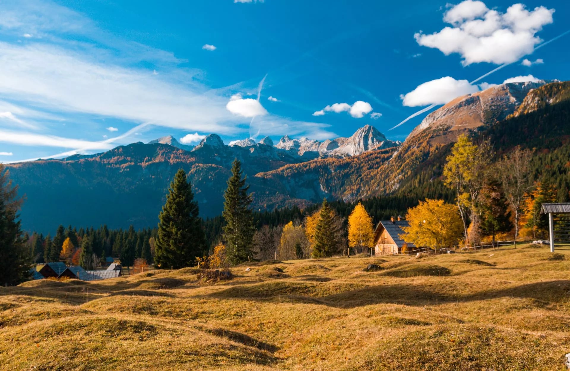
Triglav National Park
Slovenia’s flagship protected mountain area covers a large part of the Julian Alps, the country’s largest mountain range. It’s the classic starting point for hut-to-hut hiking, with strong trail infrastructure and clear route planning options. The park has a mapped network of 826 km of mountain trails, including challenging and very challenging sections.
Top 3 Highlights:
Kamnik–Savinja Alps
Often the quieter sibling to the Julian Alps, the Kamnik–Savinja Alps feel steeper, sharper, and more “mountaineering-leaning” than many visitors expect. This northern range (with its northern edge crossing into Austria) is built from dramatic limestone walls and rugged valleys, and a lot of the classic link-ups naturally push you onto demanding routes—sometimes with protected sections like fixed cables and pegs—especially if you’re trying to stitch together a true multi-day traverse.
Top 3 Highlights:
Karavanke Ridge
A long border ridge that lends itself to trekking in Slovenia with a different rhythm: extended panoramas, sustained ridge walking, and natural stage planning along a linear crest. It’s one of the three main Alpine ranges in Slovenia, alongside the Julian Alps and Kamnik–Savinja Alps.
Top 3 Highlights:
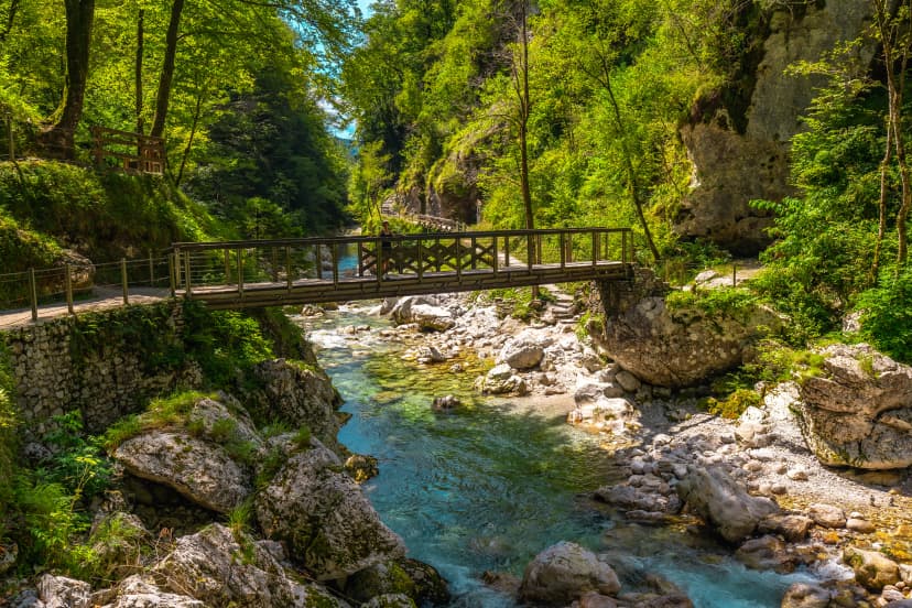
Soča Valley
For Slovenia trekking with maximum scenery-per-kilometer, the Soča Valley is hard to beat: emerald water, hanging footbridges, and trails that bounce between river canyons and high alpine terrain. The valley follows the Soča / Isonzo River, which runs 138 km from its source in the Trenta area (at 876 m) to the Adriatic.
Top 3 Highlights:
Karst Slovenia
For a totally different hiking vibe, head south-west into the Karst: stone villages, dry limestone landscapes, and trails that feel more Mediterranean than alpine. You’ll find waymarked routes that connect natural landmarks (caves, sinkholes, rock edges) with cultural stops—and it’s ideal when you want wide-open views without a big altitude.
Top 3 Highlights:
Top 5 Day Hikes
Dom v Dragi → Roblekov dom na Begunjščici
A pleasant, mostly forested hike from the hut Dom v Dragi up to Roblekov dom on Begunjščica, following an easy, well-marked trail. The route starts on a road into a scenic gorge, then switches to a steeper footpath that climbs through the woods, crossing forest roads a few times. Higher up you reach Planina Planinca, where the path keeps to the right (walking straight across the pasture is not allowed), then continues on a road to Tomčeva koča—a great mid-way stop.
From Tomčeva koča, the trail turns back into the forest and climbs steadily toward Roblekov dom. Near the top the forest thins and the path gets steeper and sometimes muddy in rain, with occasional views opening up before you arrive at the hut.
Key info:
Time: ~4 h 50 min (round trip)
Elevation gain: ~968 m
Difficulty: Easy marked trail (but with some steeper sections)
Highlights: Gorge start, forest climb, Planina Planinca, Tomčeva koča, final ridge-side approach to Roblekov dom
Optional extension: Continue to Begunjščica (about +1 h 30 min)

Kranjska Gora → Ciprnik
This is a scenic, well-marked hike that climbs from the ski area in Kranjska Gora up onto the Vitranc ridge and continues to the viewpoint summit of Ciprnik. The route begins right by the ski slopes, using metal stairs and wide gravel tracks that steadily gain height to Bedančev dom (around 50 minutes) — an easy first stop with a classic mountain-hut feel.
From Bedančev dom the path continues uphill on ski-road switchbacks and across higher ski-slope terrain, then enters the forest where the climb becomes steeper. A few slippery sections are helped by a rope, and you’ll pass remnants of old ski infrastructure before reaching the ridge near Mojčin dom (and the nearby, decaying Dom na Vitrancu). From there, you follow the ridge with gentle ups and downs, eventually leaving the forest for a belt of dwarf pines on the final, steeper push to Ciprnik, where wide views open over Kranjska Gora and the surrounding Julian Alps.
Key info:
Time: ~5 h (round trip)
Elevation gain: ~935–985 m
Difficulty: Easy marked route, but with steeper/possibly slippery forest sections
Highlights: Ski-slope approach, Bedančev dom, Vitranc ridge walking, Mojčin dom, historic/abandoned lift area, panoramic Ciprnik summit
Optional extension: Continue to Visoka peč (about +30 min)

Dom v Kamniški Bistrici → Kamniška koča na Kamniškem sedlu
A classic, well-marked mountain hike leading from the Kamniška Bistrica valley up to the spectacular saddle Kamniško sedlo and Kamniška koča. The trail starts on a short stretch of road, then quickly turns onto a steep forest path, including a memorable section beneath overhanging cliffs. After passing a cargo cableway area and a few short road/cart-track links, the route keeps climbing through the woods on a steady, well-trodden path.
Higher up you reach a spring (can dry up in summer) and the well-known rest spot Pri Pastirjih with an emergency bivouac—a natural break before the scenery opens. From there, the trail exits the forest onto a wide panoramic meadow, then climbs through dwarf pines onto a sunny slope with increasingly dramatic views. The final section is again steeper, but straightforward, and ends at Kamniška koča in an outstanding high-alpine setting.
Key info:
Time: ~6 h 20 min (round trip)
Elevation gain: ~1263 m
Difficulty: Easy marked route, but long and consistently steep
Highlights: Overhanging-cliff passage, spring, Pri Pastirjih, panoramic meadow, sunny slope views, hut on Kamniško sedlo
Optional extensions: Turska gora, Brana (~+1 h 15 min), Planjava

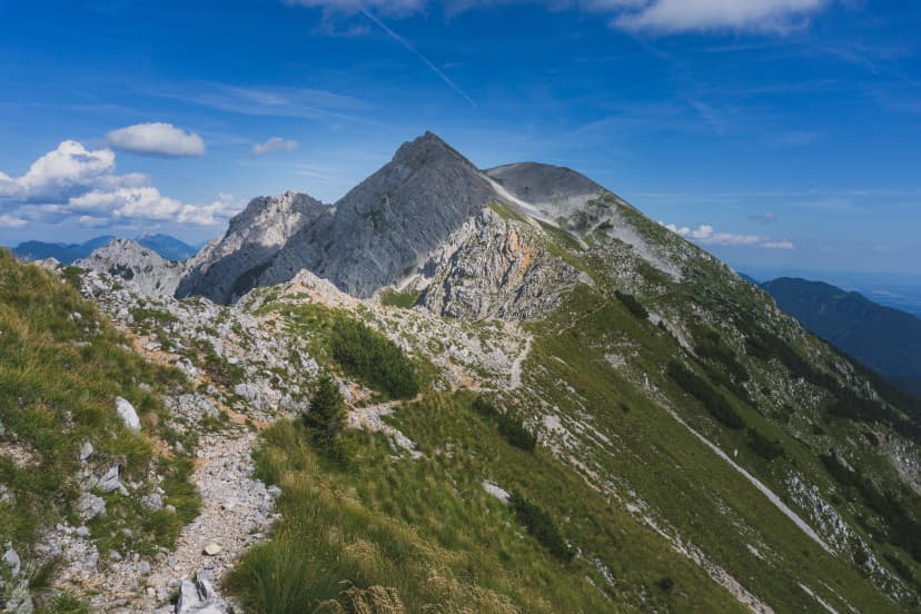
Dom v Tamarju → Jalovec
A tough, high-alpine ascent to one of Slovenia’s most iconic peaks, Jalovec (2645 m). From Dom v Tamarju, the trail heads briefly through forest, then quickly transitions onto open gravel and scree as you climb toward the basin below Kotovo sedlo. The terrain becomes progressively steeper and rockier, with a few more exposed passages on the way up.
Higher up, the route crosses steep slopes and reaches the area below Bivak pod Kotovim sedlom (slightly off the main path and easy to miss in fog), before arriving at Kotovo sedlo (2134 m)—a major junction understood as a key turning point on this climb. From the saddle you continue left toward Jalovec, traversing the western slopes where the path steepens markedly. The final section is the most serious: expect exposed traverses, fixed steel cables, and easy scrambling on rugged rock, finishing on the airy ridge and then the highly panoramic summit.
Key info
Time: ~9h + 45min extra from Planica parking (roundtrip)
Elevation gain: ~1537 m
Difficulty: Very difficult marked route (exposure, cables, scrambling)
Highlights: Scree approach, Bivak pod Kotovim sedlom, Kotovo sedlo, cable-protected upper ridge, classic summit views
Good to know: This is a tougher hike best for experienced hikers with sure-footedness; avoid in wet weather or poor visibility.

Slemenova Špica (Sleme) from Vršič Pass
One of the best easy hikes in the Julian Alps, Slemenova Špica is popular for a reason: it’s well marked, technically simple, and delivers huge panoramas fast thanks to the high start at Vršič Pass above Kranjska Gora. Start early or late to avoid crowds and catch the best light.
From the pass, the trail crosses scree slopes to a saddle with a great view back to Prisojnik—look for the famous “Pagan Girl” rock face in its north wall. Beyond the saddle, the landscape opens dramatically: to the north are the Ponce peaks above the Planica valley (Slovenia’s ski-jumping hub), and to the west you’ll see Jalovec, often called Slovenia’s “Diamond.” The path then leads to the grassy, pyramidal summit where most hikers linger for the classic postcard views.
Key info
Difficulty: Easy (some scree sections)
Time/Distance: ~3–4 h(round trip)
Elevation gain: ~450 m
Start: Vršič Pass (payable parking; summer buses Kranjska Gora–Bovec)
Return options: Same way back, or a looser scree variation below Mojstrovka (less busy, a bit uncomfortable)
Best season: July–October (snow can linger in May/June and make parts risky)

Top 5 Multi Day Hikes
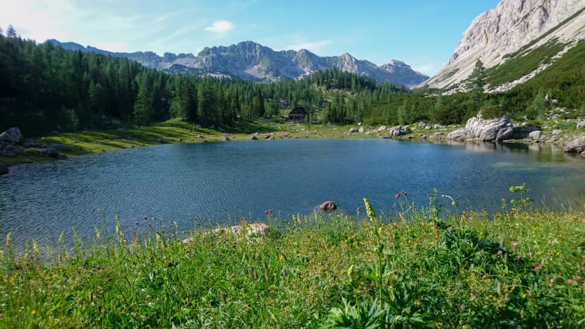
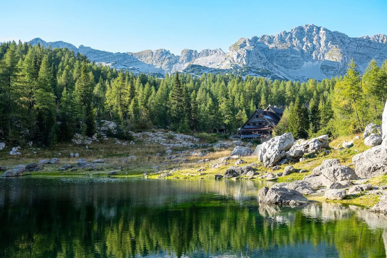
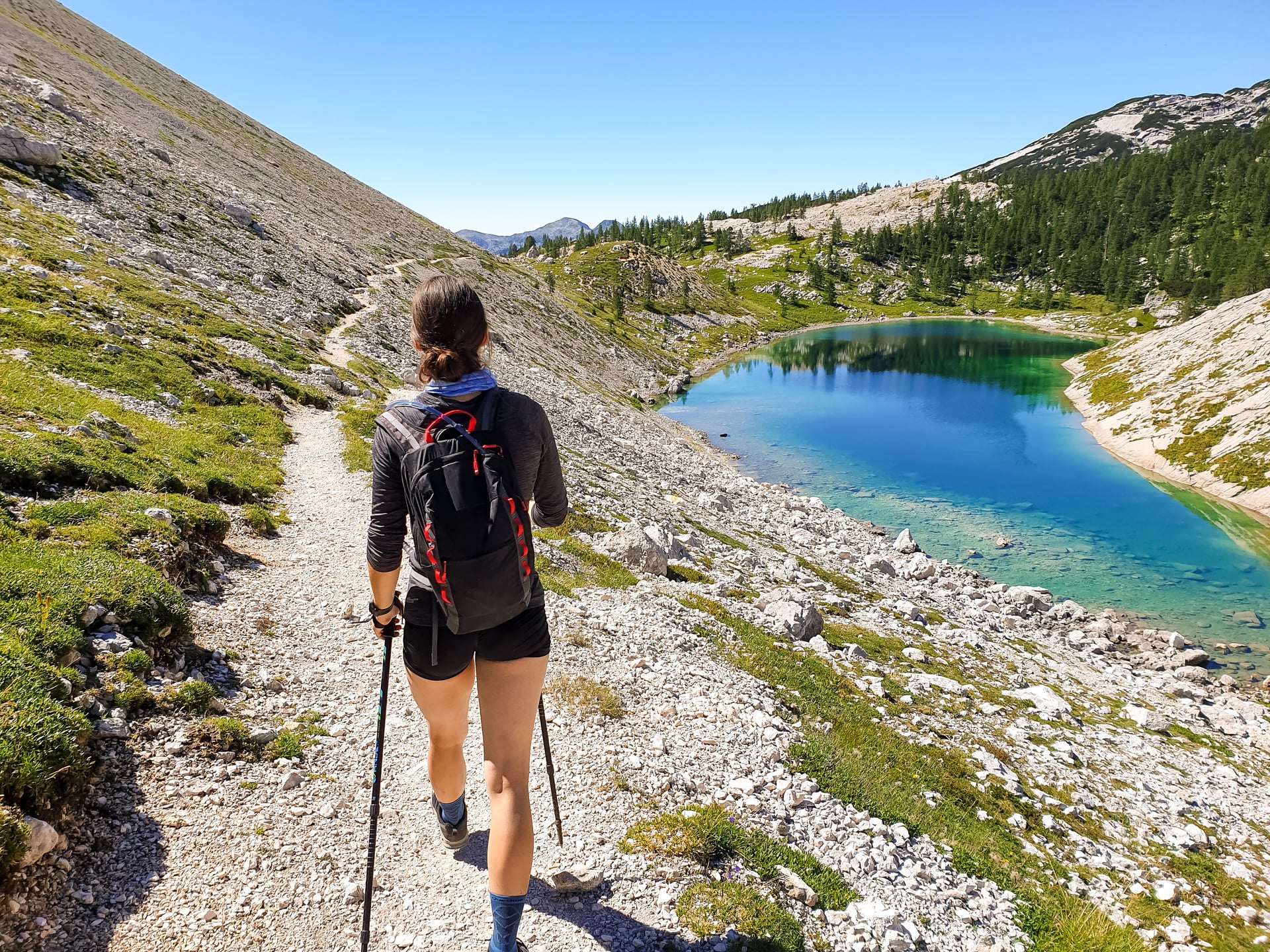
Seven Lakes Valley Hut to Hut Hike
Known for its chain of alpine lakes and classic hut-to-hut rhythm in the Julian Alps, the Seven Lakes Valley Hut to Hut Hike is a scenic, confidence-building introduction to Slovenia trekking—big views without “too much” technical stress.
Perfect for: Fit first-timers to hut-to-hut hiking, and intermediate hikers who want a short, iconic multi-day route without excessive technical difficulty.
Highlights: The Triglav Lakes Valley / “Seven Lakes” scenery, including standout spots like Double Lake (Dvojno jezero) and other named lakes along the route.
What Makes It Stand Out: It compresses a “best-of” Julian Alps experience into 3 days—enough time to feel immersed, but short enough to fit into a long weekend and still stay accessible.
The Best Julian Alps and Soča Valley Hike
Spanning the Julian Alps and the Soča Valley, this 5-day hut-to-hut route is built for variety—high-mountain lakes and rocky peaks up top, then a full day following the emerald Soča with gorges and waterfalls.
Perfect for: Active hikers who want one trip that blends alpine terrain + river-valley drama, without stepping into the most technical end of the scale.
Highlights: Emerald Soča River landscapes, big mountain viewpoints in the Julian Alps, and a varied 5-day progression that keeps each stage feeling different.
What Makes It Stand Out: It’s designed as a single, cohesive 5-day hut-to-hut story—not just a collection of day hikes—so you get that satisfying multi-day rhythm while still covering a wide slice of Slovenia in one go.
Slovenian Mountain Trail Highlights Hike
This route follows one of the most scenic, least demanding stretches of the Slovenian Mountain Trail, linking two ranges (Julian Alps + Karavanke) with a steady rhythm of grassy ridges, alpine valleys, and classic hut evenings.
Perfect for: Regular hikers who want a structured 6-day trek with big panoramas, but without highly technical terrain—ideal if you’re stepping up into Slovenia multi day hikes at a sensible difficulty level.
Highlights: Wide-open ridge walking in the Karavanke, the Triglav Lakes Valley stage, and a finish at Lake Bohinj (with the option to extend to Bled).
What Makes It Stand Out: You get the “traverse” feeling—changing landscapes and two different mountain personalities—while staying in the 3/5 technical, 3/5 fitness lane that works for many confident hikers.
Triglav Panorama Hut to Hut Hike
Panoramas are the point here: this 3-day trek sticks to the wooded slopes, pastures, and ridgelines above the Pokljuka Plateau, delivering one of the best “big view” routes in the Julian Alps—without leaning into highly technical terrain.
Perfect for: Hikers who want a moderate-effort, high-reward hut-to-hut with classic viewpoints, plus extra flexibility to finish toward Bled (or keep it simpler and return toward Bohinj).
Highlights: A panoramic ridge above Krma Valley, wide forest paths across Pokljuka, and standout views toward Mt. Triglav—all within a route that’s specifically positioned as easier/less rocky than the Seven Lakes option.
What Makes It Stand Out: It’s built for a longer season (May–October) and is explicitly framed as a strong shoulder-season choice when many higher huts are already closed—so it’s a smart pick when you want the hut-to-hut rhythm outside peak summer.
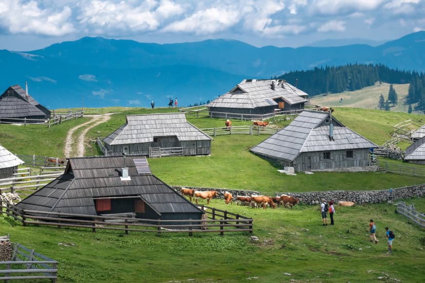
Pokljuka Hike
Built around the gentle forests and open pastures of the Pokljuka Plateau, this 3-day route lets families experience the Julian Alps at a relaxed pace—short stages, warm hut evenings, and plenty of “reward stops” along the way.
Perfect for: Families with kids (or mixed-ability groups) who want a real hut-to-hut feel without steep, technical terrain—rated 2/5 technical and 1/5 fitness.
Highlights: Zajamniki mountain pasture, kid-friendly woodland trails, two authentic overnight huts, and the classic “hut treats” factor (pancakes / homemade apple pie).
What Makes It Stand Out: A true “low-stress” multi-day option with escape routes back to the road if needed, plus easy add-on potential with a Lake Bled sightseeing day.
These are just a handful of classic day hikes—once you start looking, you’ll realize the options are basically endless. If you want to keep exploring ideas and connect routes on your own, Hribi.net is one of the most useful local databases for descriptions, photos, and GPX tracks.
You can also browse our other tours in Slovenia for more routes, durations, and difficulty levels.
Best Time To Go
Mountain hut-to-hut season is shaped by two things: snow at higher elevations and whether huts are staffed and serving food. In the high mountains, huts typically operate in a short summer window, while some lower huts can run longer (or weekends in the shoulder season).
Outside the staffed season, many huts have winter rooms (basic shelter spaces). They can be useful in a pinch, but they’re not the same as a full-service overnight with meals and staff.
For classic hut-to-hut logistics (open huts, meals and easiest planning), the most reliable period is late June / July through early September—because most high huts are operating and the days are long. Weather can be calmer in late September and October, but many huts start winding down or closing, mornings are colder, daylight is shorter, and early snow becomes more likely—so multi-day hut itineraries get harder to run in the “classic” way.
For day-to-day decisions, use ARSO’s official mountain forecast (it’s the most reliable source—open it and use Google Translate if needed), and cross-check any local current-condition updates before committing to a stage.
For a more detailed breakdown of the best time to go hiking in Slovenia, you can check out our blog.
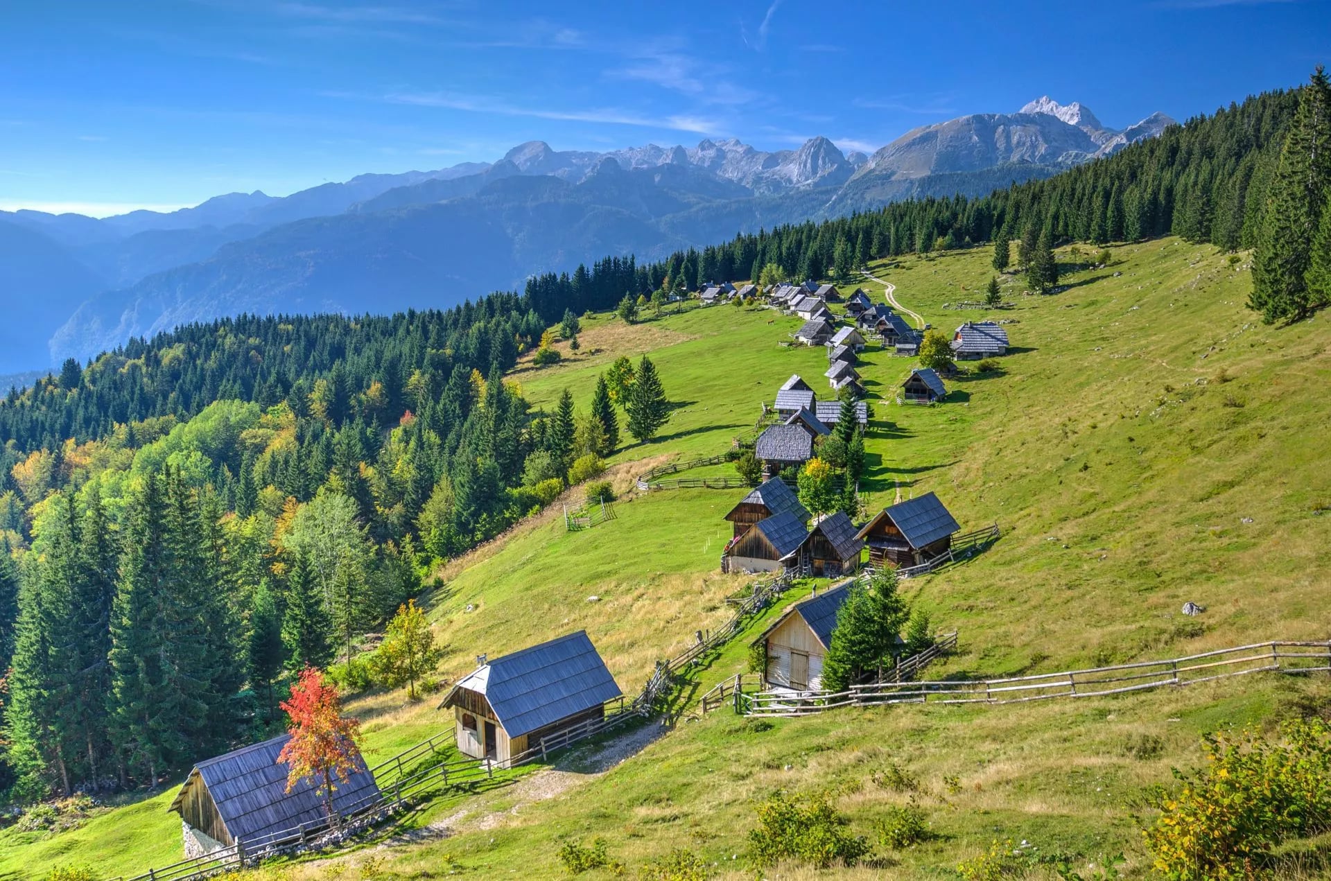
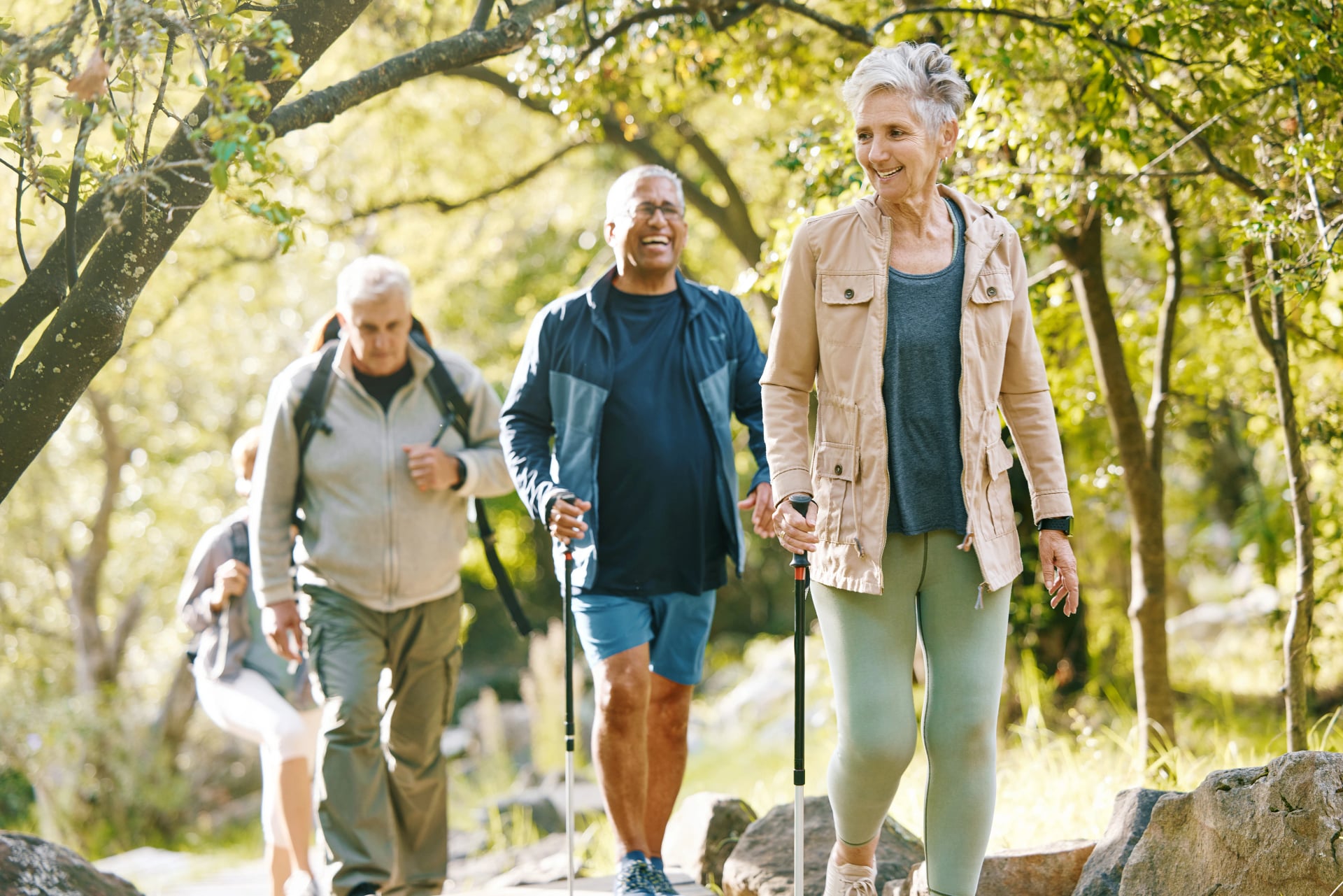
Mountain Huts in Slovenia
Mountain huts are the backbone of Slovenia hiking. They’re not mountain hotels — they’re practical refuges that let you hike multi-day routes with a light pack, knowing there’s shelter, food, and a bed (usually dorm-style) waiting at the end of the stage.
Slovenia has a big hut network, and while each hut has its own personality, the experience is broadly similar: simple, clean, and cozy, built for hikers—not luxury. Because many huts operate in remote terrain with limited resources, it helps to arrive with the right expectations and a bit of hut etiquette.
Comfort and Facilities
Expect basic mountain comfort: shared spaces, modest washrooms, and careful use of water and electricity. Huts can’t offer “valley-level” services, so guests are asked to use resources—especially water—sparingly.
Sleeping
Most huts offer dormitories plus a limited number of private rooms, and private rooms are usually the first to sell out. Bedding and blankets are typically provided, but a sleeping bag liner (hut sheet) is commonly expected—and some huts require it; if you don’t bring one, you may need to buy a disposable liner on site. Booking ahead is the safest move in peak season.

Water and Showers
A key local detail is the karst/limestone landscape, which means surface water is often scarce in the high mountains. Many higher huts depend on transported supplies and/or rainwater systems, so water can be restricted and showers are usually only available (if at all) in lower huts. Plan as if you won’t have a shower, and don’t assume you can refill freely.
Food and Drink
Huts offer authentic traditional homemade dishes like stews, sausages, goulash etc. Breakfast is usually eggs or different kinds of spreads with bread, so taking the half-board package is worth it. Regarding drinks, you can buy bottled water for around 4,5 € per 1,5 litres. They also serve beer, wine and some home-brewed schnapps. For a quick boost of energy, they also offer snacks like chocolate bars.

Mountain Hut Etiquette
Huts are shared spaces, so the basics matter: follow house rules, keep noise down during night rest/quiet hours, don’t smoke indoors, and pack out your trash. A small amount of consideration makes a big difference when huts are full.
One last tip: huts are popular—especially in summer—so book early if you’re aiming for a specific night or a private room.
To get a sense of what the huts are like, check out the list of our favourite mountain lodges.
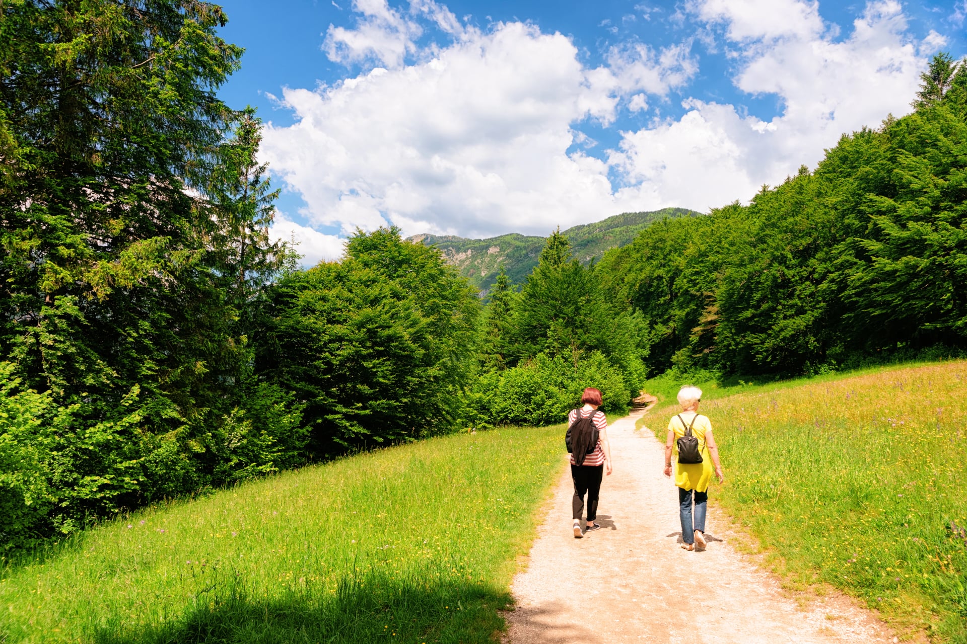
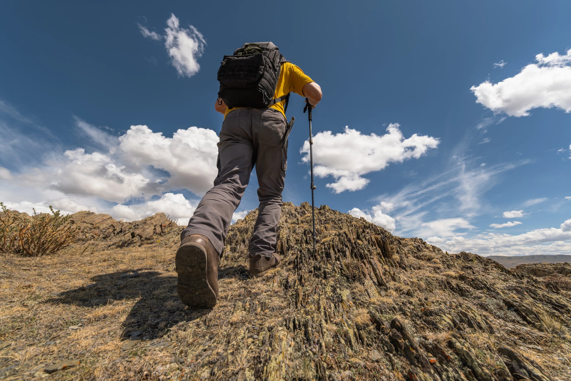
How to Prepare
With the right prep, the best hikes here feel smooth and enjoyable—but Slovenia has a way of surprising people. You’ll often climb hard straight out of the valley, and the terrain can shift quickly from forest paths to rocky limestone and exposed sections. Even though the country’s highest summit is 2,864 m, the days can still feel properly alpine once you’re on the move.
Choose the Right Route
Slovenia’s trail grading mainly describes technical difficulty, not how tired you’ll feel at hour six. Before you commit to a stage, match the route to your fitness, experience, and comfort with exposure—then plan with extra time for breaks, photos, and slower terrain.
Quick Self-Check
Can you comfortably hike uphill for 4–6 hours?
Are you steady on rocky ground when tired?
Are you okay with sections that may be protected by cables (hands needed)?
Fitness and Training
Slovenia may be compact, but the walking days can feel properly alpine. No summit breaks 3,000m (Triglav tops out at 2,864m) , yet routes often start deep in glacial valleys, climb fast, and run across limestone terrain where footing can be less predictable—so steady pacing and confident movement matter as much as raw fitness.
You don’t need to be an athlete. You do need a base that holds up on day two and day three.
Fitness Benchmarks to Target:
Comfortably hike 12–15 km with 800–1,000m elevation gain in 5–7 hours
Stay sure-footed on uneven, rocky terrain even when tired
Carry an 8–10kg pack without shoulder/back discomfort
Hike consecutive days without excessive muscle soreness
Training Progression
12–8 weeks out: Start with weekly hikes on local terrain, even just modest hills. Focus on time on feet (2–3 hours minimum) rather than pace. Build base endurance.
8–4 weeks out: Increase to 2–3 hikes per week, including one longer weekend hike (4–6 hours) and shorter midweek sessions. Add elevation gain progressively—aim for 500–800m cumulative gain on weekend hikes. Begin carrying a weighted backpack (5–8kg) to simulate trekking conditions.
4–2 weeks out: Peak training volume. One weekly hike should mimic actual trek conditions: 12–15km, 800–1,000m elevation gain, 8–10kg backpack. Your legs, cardiovascular system, and feet should adapt to sustained effort at trekking pace.
2 weeks out: Taper training volume to allow recovery before departure. Maintain fitness with shorter hikes but reduce intensity and duration.
Downhill Durability
Most “bad days” start on the way down: tired legs, loose rock, and rushed footwork. Train descents on purpose—take shorter, controlled steps, and use hiking poles if they help your knees and balance.
Cross-Training That Actually Helps:
Stairs / step-ups (best payoff per minute)
Cycling (strong aerobic base, low impact)
Leg and core strength (stability on uneven ground)

Mental Prep
Multi-day hut hiking is all about rhythm: early starts, steady pacing, and clear-headed choices when you’re tired. Slovenia’s mountains can mislead people into overestimating themselves because the altitudes are lower than in other Alpine countries—so honest self-assessment matters.
A simple rule: plan your day so you still have focus (and patience) left for the descent.
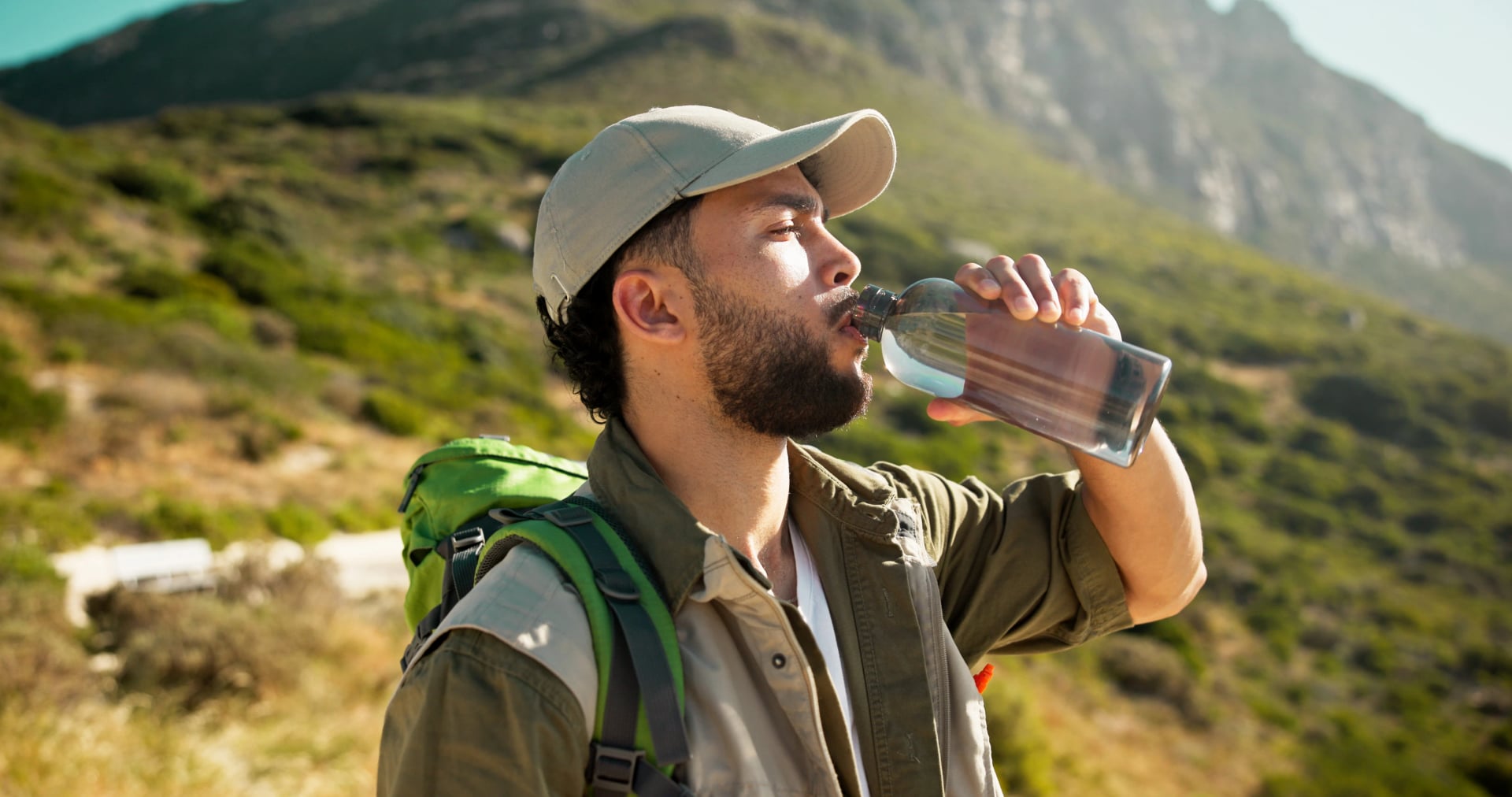
Water and Hydration
Water planning here is less about “how much can I carry?” and more about where you can reliably refill. A key local detail: much of Slovenia’s mountain world is limestone/karst, which means water often drains underground instead of running in surface streams—so in higher terrain you can’t count on finding regular natural refill points between huts.
In towns and valleys, tap water is commonly available in cafés and restaurants, and public fountains are often present in warm weather. In the mountains, it’s different: huts operate in remote terrain with limited natural resources, so water can be restricted and visitors are asked to use it carefully and sparingly.
This “water disappears underground” landscape is also the reason Slovenia is famous for caves and other karst features.
How Much Water to Carry
For most summer mountain days, many hikers start with 1.5–2 liters and adjust based on heat and how “dry” the stage looks. A practical baseline is to plan around 0.5 liters per hour of moderate hiking, then increase if you’ll be climbing in full sun or moving through hot valley sections before you reach higher ground.
Refill Stops
The key rule is: don’t assume a hut equals unlimited drinking water. Triglav National Park notes that mountain huts operate in remote terrain with limited natural resources, so visitors are asked to use services—especially water—carefully and sparingly.
That said, you’re not relying only on streams: most huts sell drinks, and buying bottled water is usually the simplest backup when refills aren’t reliable—particularly at higher huts where a consistent drinking-water source isn’t guaranteed.
Practical Tips
Start hydrated: drink in the valley before you begin—don’t wait until you feel thirsty.
Sip steadily: small, regular drinks usually work better than long gaps followed by big chugs.
Carry a backup: lightweight tablets or a compact filter buys flexibility if a refill point isn’t available.
Use one bottle for electrolytes on hot days: it helps you stay consistent on long climbs and recover better for day two.
Top up before the final climb to a hut: that last hour is where people most often run dry—especially in heat.
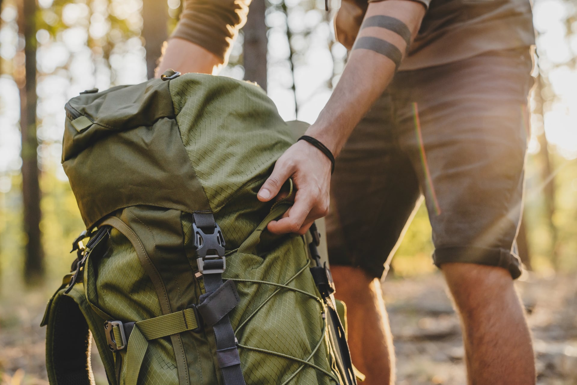
Essential Packing List
A good pack keeps your day simple: you walk lighter, move safer, and arrive at the hut with energy left. Because huts have limited resources and can’t offer “valley-level comfort,” you’ll get the best experience by bringing the essentials and skipping the bulky extras. Less weight also means better balance and less fatigue on uneven ground—especially on long descents.
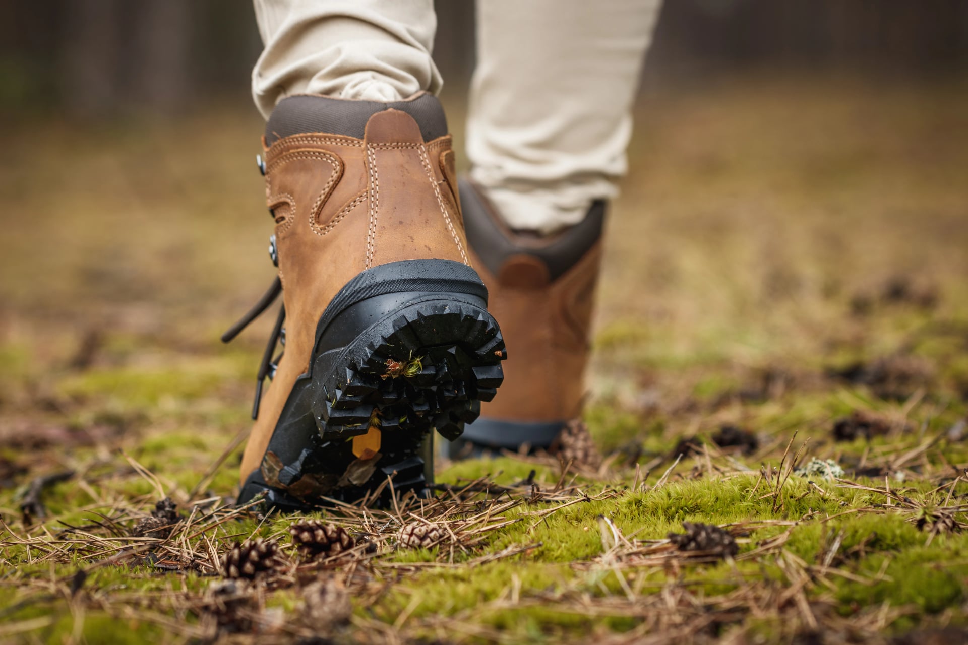
Footwear and Walking Gear
Broken-in hiking shoes or boots
Hiking poles (very helpful on long descents and uneven terrain)
Optional: light gaiters (early season snow patches or scree)
Backpack and Waterproofing
25 - 35L backpack
Rain cover or waterproof liner (one is enough)
Keep your pack lean: most people aim for roughly eight to twelve kilograms including water
Clothing Layers
Base layer (merino or synthetic, avoid cotton)
Lightweight hiking top for warm valleys
Mid-layer (fleece or light synthetic)
Insulation layer (light down or synthetic puffy for cold mornings and hut evenings)
Proper waterproof shell jacket
Waterproof pants (worth it when storms hit)
Hiking pants or shorts (depending on season)
Warm hat and light gloves
Sun hat or cap
Two to three pairs hiking socks, plus one spare set of underwear

Hut Overnight Essentials
Sleeping liner (generally required in Alpine huts; bring one even if bedding is provided)
Earplugs (dorms)
Small toiletry kit (toothbrush, travel soap), plus a small pack of tissues or toilet paper
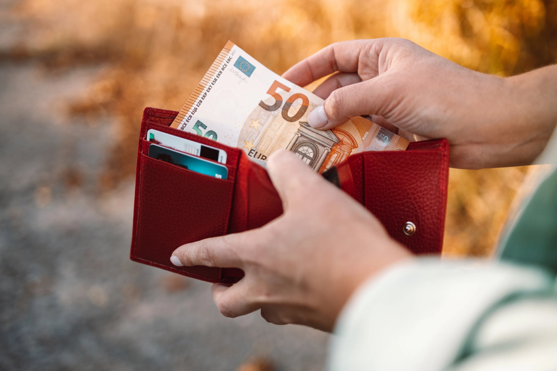
Cash (some huts still rely on cash due to remoteness/connectivity)
Optional but useful: membership card (PZS / UIAA partner clubs) for hut discounts
Safety and Everyday Items
Sunglasses and sunscreen (plus lip balm)
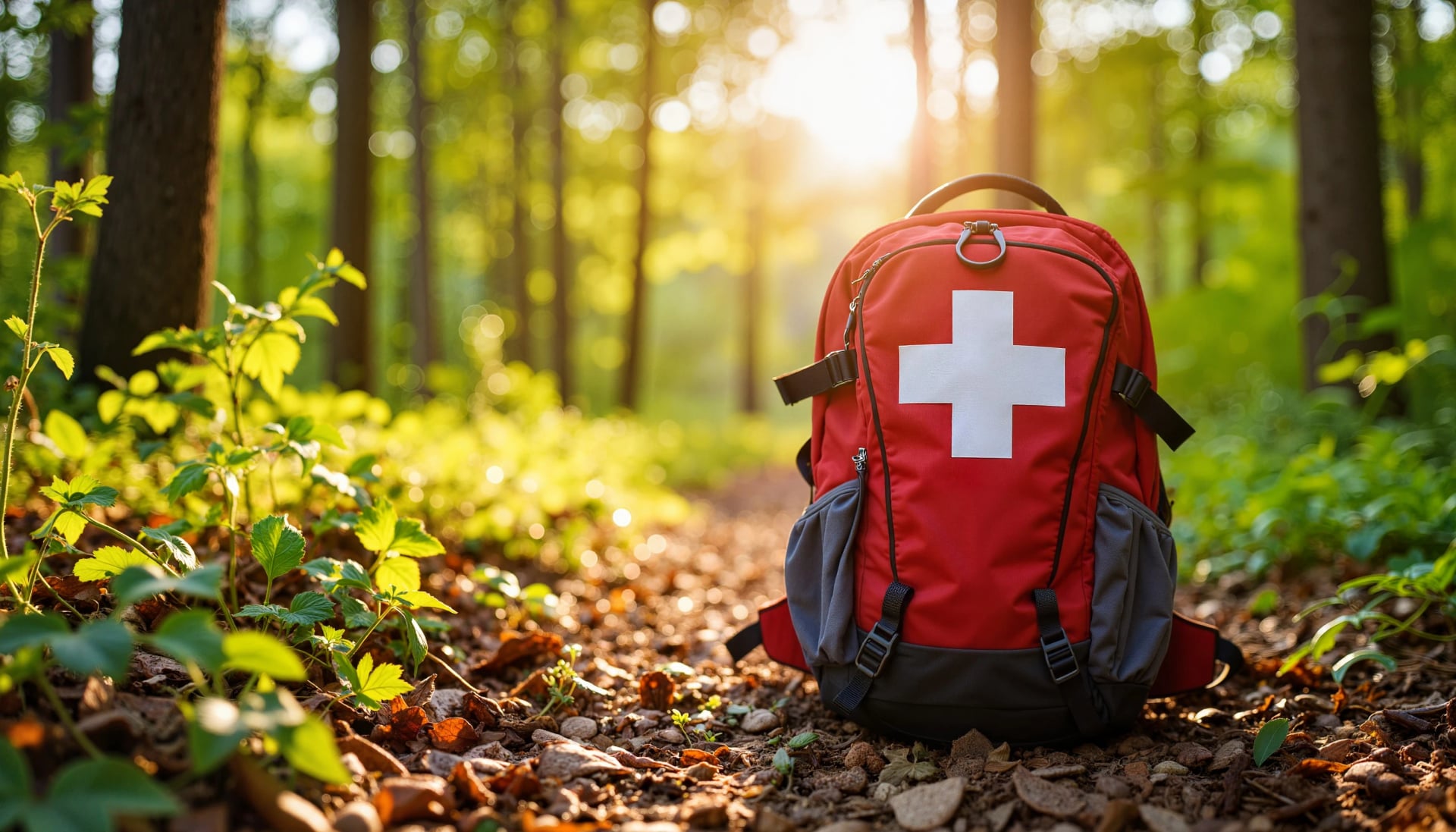
First aid basics (blister care, pain relief, personal meds)
Headlamp
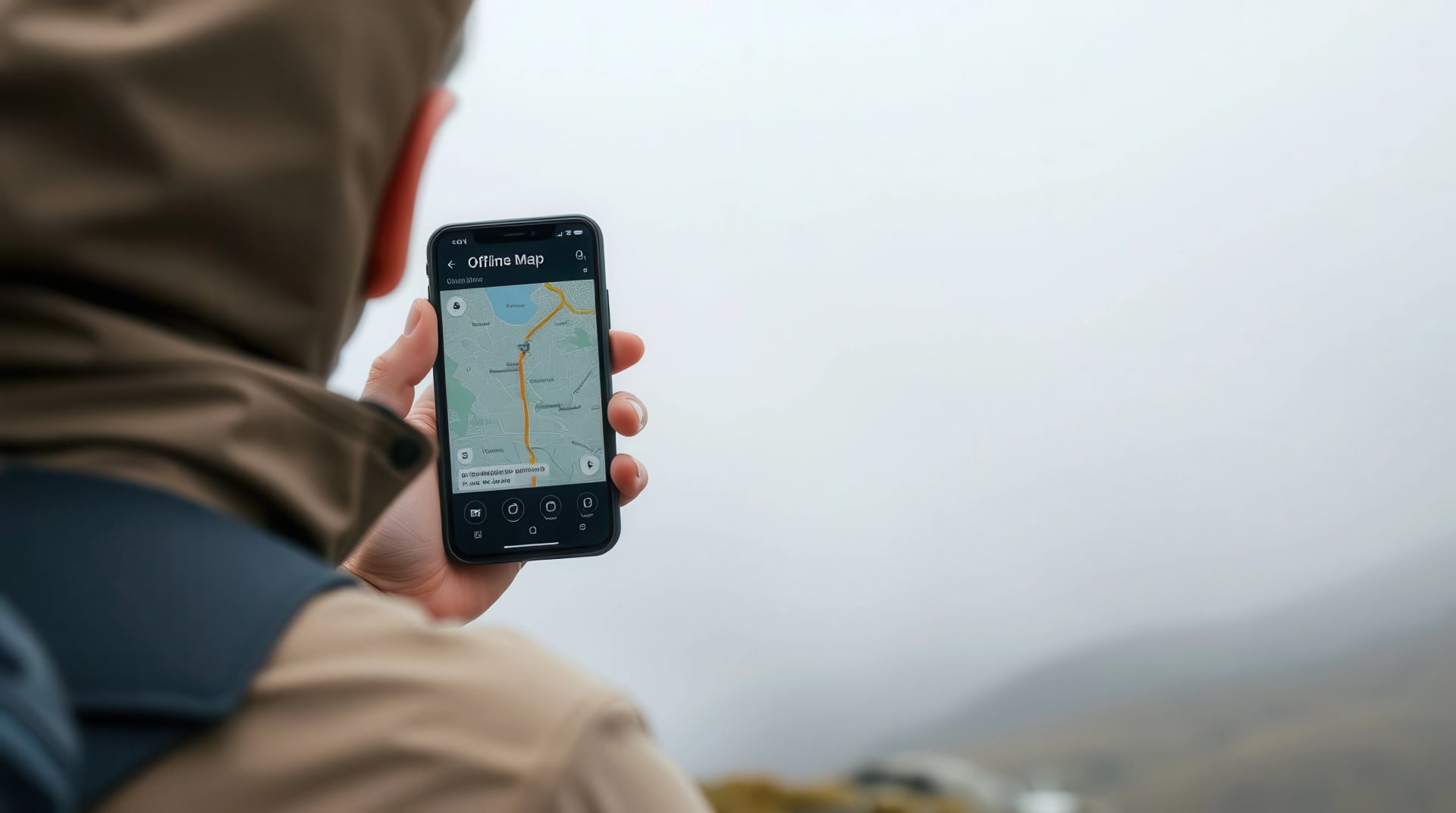
Phone with offline maps and emergency contacts
Water capacity for one and a half to two litres
Snacks for the gaps between huts (plus electrolytes on hot days)
Power bank (sockets can be limited)

What NOT to bring:
Camping gear (tent, sleeping bag, stove)
Multiple outfit changes and heavy toiletries
Extra electronics and “just in case” items you won’t use
Every extra item gets carried up every climb—so pack with intention. A lighter load usually means better balance, less fatigue, and more enjoyment over multi-day stages.
Trail Difficulty, Markings, and Navigation
Slovenia is one of Europe’s best countries for hiking because the trail system is consistently marked—but that doesn’t mean every route is “easy.” Difficulty ratings focus on technical terrain, and signposted times are estimates that can feel very different depending on fitness, weather, and ground conditions.
Difficulty Levels
Slovenian mountain trails are commonly classified into three categories (you’ll see these on maps and trail signposts): easy, demanding/difficult, and very demanding/very difficult.
Easy trails: walking path; hands generally not needed (though they can still be long or steep).
Difficult (demanding) trails: occasional use of hands; may include fixed cables/steps to help on steeper ground.
Very difficult trails: hands are required; these sections can resemble protected routes with cables/pegs/ladders—plan for real exposure and confident movement
Waymarking and Signposts
On mountain trails, you’ll follow the famous Knafelc blaze: a white dot inside a red ring, painted on rocks, trees, and other visible surfaces.
At junctions, you’ll usually find red signposts with white lettering, pointing to destinations and indicating the approximate hiking time.

Quick tip: Knafelc blazes are typically placed so they’re easy to spot in the direction of travel—if you haven’t seen one for a while at a logical turn or junction, pause and backtrack to the last mark rather than “pushing on.”
Understanding Signposted Times
Slovenian signposts often include a time estimate to a hut, pass, or summit. Treat these as baseline planning numbers, not promises—pace, pack weight, wet rock, heat, and fatigue can all stretch the clock on longer hikes.
Even with great markings, navigation is still part of the job—especially in fog, after storms, or on less-traveled lines.
Stay on marked mountaineering trails when you’re in mountain terrain (don’t shortcut).
Bring an offline map (app or paper) and know your key points for the day (start, junctions, high point, finish).
Build plans around terrain, not just distance—short kilometers can still mean slow movement on rocky ground.
Common Mistakes
Even with Slovenia’s excellent waymarking, most navigation slip-ups come from rushing junctions or following the “most worn” line instead of the next marker.
Following footprints instead of blazes (tracks can be misleading, especially after weather changes).
Assuming “lower peaks = easier”—Slovenian mountain rescue points out that altitude can create false confidence.
Continuing in poor visibility past major junctions—when visibility drops, slow down and confirm markers more often.
Slovenia’s trail network makes Slovenia hikes very doable, but it still rewards discipline. Trust the system, interpret difficulty ratings as technical, and navigate with a “confirm early, correct early” mindset—because the safest multi-day hiking is the kind that never becomes a navigation story.
Safety Tips
Slovenia’s mountains can feel “smaller” on paper, but the terrain is often steeper, more brittle, and faster-changing in weather than many hikers expect.
Choose routes that match the whole day
Deep valleys mean 1,000m+ climbs are common, and long descents can be just as tiring as the ascent. Pick stages you can finish with energy left for safe footing.Start early and plan around afternoon instability
Summer days often bring heat and storm risk later in the day. Build a habit of early departures and aim to be off exposed ridges before weather turns.Use a proper mountain forecast
Check the official ARSO mountain forecast before you commit to a stage—especially for wind, freezing level, and thunderstorm risk at altitude.Footing matters
Slovenia’s Alps are largely crumbly limestone, which makes trails more unpredictable—especially on steep traverses and loose descents. Mountain rescue notes that slips and falling rocks are among the most common causes of incidents.Pack for rapid changes
Carry layers and rain protection even on “bluebird” mornings—storms and temperature drops can arrive fast.Tell someone your plan
A simple message with your route + expected finish time helps if something goes wrong and you don’t check in. GRZS emphasizes preparation and realistic planning as key prevention.In an emergency: call 112
Use 112 for mountain rescue and be ready to say who you are, what happened, where/when it happened, how many are injured, what help you need.
Getting There
Slovenia is compact, so the key step is getting yourself into Ljubljana, where trains and buses make it easy to continue onward.
To Ljubljana
By Plane
Ljubljana Jože Pučnik Airport (LJU) is the simplest option for most itineraries. The public bus between the airport and Ljubljana’s main bus station runs at least once per hour between 05:00 and 21:00.
If flights are better elsewhere, these are common alternatives:
Venice Marco Polo (VCE) → Ljubljana by direct coach options (e.g., FlixBus runs this route).
Trieste (TRS) → Ljubljana via shared transfers/shuttles (e.g., GoOpti).
By Train
Slovenia’s rail network is run by Slovenske železnice (SŽ), and their passenger site is the best starting point for timetables/tickets and international travel info.
A useful example for many hiking bases:
Lake Bled area: There are two train routes to Lake Bled, including service to Lesce–Bled (then a short onward connection).
By Bus
For many trail bases, buses are the most direct “last-mile” solution from Ljubljana.
LJU airport ↔ Ljubljana: public bus runs regularly (hourly daytime pattern).
International coaches: routes like Venice Airport ↔ Ljubljana are served by long-distance coach operators (e.g., FlixBus).
From Ljubljana to Bled or Bohinj
Most hikers base themselves in Bled (easy access and sightseeing) or Bohinj (closer to early trail starts). From Ljubljana, both are straightforward by public transport.
By Bus
Ljubljana → Bled: frequent direct buses from Ljubljana Bus Station; typical journey is around ~1–1.5 hours depending on the service.
Ljubljana → Bohinj (Ukanc): there’s a regular bus service from Ljubljana Bus Station that runs via Bled → Bohinjska Bistrica → Ribčev Laz → Ukanc.
Use Arriva or Nomago for timetables. Tickets can also be purchased on the spot
By Train
Ljubljana → Lesce–Bled (train): take the train to Lesce–Bled, then continue onward to Lake Bled by local bus/taxi (or a longer walk, depending where you’re staying).
Ljubljana → Bohinjska Bistrica (train): rail can work in theory, but isn’t the go-to option for most travelers.
Use Slovenske železnice for timetables. tickets can also be purchased on the spot.
To the Trailhead
From Bled
Get into the Bohinj valley by bus: the regular Ljubljana–Bohinj route runs via Bled → Bohinjska Bistrica → Ribčev Laz → Ukanc, typically every hour to Ukanc.
Once you’re in Bohinj (Ribčev Laz / Stara Fužina / Bohinjska Bistrica), you can connect to the main hiking access points:
Planina Blato / Vogar / Voje: reached via a gated forest road (car access) or seasonal organised shuttles (summer).
From Bohinj
You’re already on the doorstep: the Bohinj local bus runs through the Upper and Lower valley (useful for moving between lake villages and trail access points).
For current shuttle and transfer timetables check the Promet Bohinj

Parking at Trailheads
Parking is straightforward, but it’s also one of the most common “last-mile” pain points in peak season.
Use designated parking areas (especially in protected areas). Triglav National Park rules prohibit parking outside designated areas.
Expect paid car parks in popular valleys and access points. Bohinj’s official mobility portal outlines paid parking across key locations (rates vary by car park/season).
In busy Alpine valleys, park before entering the valley. Kranjska Gora’s official guidance for the Krma and Kot valleys recommends using car parks before entering the valleys and parking only in designated places.
Arrive early in summer. The best lots fill quickly around classic trail gateways and sightseeing starts (especially weekends).

Why Book With Us
Planning a hut-to-hut trip in Slovenia is a lot more enjoyable when you’ve got someone local in your corner. We know these routes in real life—not just from maps—so we can help you choose stages that actually match your pace, comfort on steeper ground, and the kind of landscapes you want to hike through.
And if something doesn’t go to plan (weather shifts, a stage feels too long, you want an easier alternative), you’re not figuring it out alone. We’re here with practical, on-the-ground advice and clear guidance—so you can focus on hiking and enjoy the trip with confidence.
Ready to Hike Slovenia?
Slovenia makes it easy to fall in love with the mountains: a compact country with an outsized trail network, reliable waymarking, and landscapes that change fast—from alpine ridgelines to emerald rivers and karst viewpoints. Come with a little preparation, hike with a steady rhythm, and you’ll quickly see why Slovenia is such a rewarding place to spend day after day on the trail.
Check out our tours to see a few of our favorite itineraries—and if you’d like a hand choosing the right one, contact us and we’ll help you shape a trip that still feels adventurous, just nicely matched to your pace.


Expert Local Guides
Our professional guides know the local terrain and are trained to make this once-in-a-lifetime opportunity both safe and enjoyable.

Hassle-Free
We handle route planning, accommodations, transfers, and anything else you prefer not to deal with, so you can enjoy a carefree hike.

Tried & Tested Adventures
Only the best hiking adventures in Slovenia, cherry-picked by our local team with an in-depth knowledge of the region.

Book with Confidence
We are a financially protected company, fully bonded and insured, keeping your money safe and allowing you to travel with confidence.

Unbeatable Support
Our 24/7 customer support is where we show our passion, bringing you a better experience by making your well-being our number one priority.